
Uphill into Blawenburg
- David Cochran

- Nov 26, 2018
- 1 min read
Updated: Jun 19, 2019

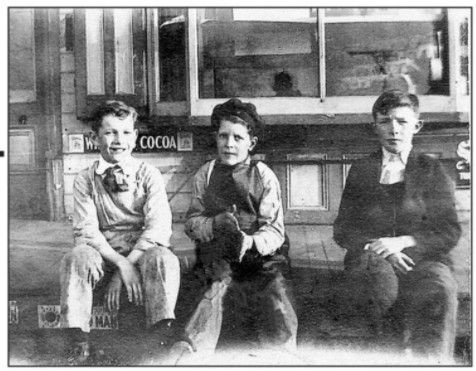
Blawenburg Hill looking south from Skillman Park
Whether you are traveling north on Great Road or south on Route 601, it's all uphill to get into Blawenburg. The village is on a ridge that sits between two small valleys created by volcanic activity that lasted for 35 million years a mere 195 million years ago in the Triassic Age. As the magma churned beneath the surface, some of it would seep upward and form sills or outcroppings of diabase (aka trap rock), shale, and argillite. Sourland Mountain, Blawenburg Ridge, and Princeton Ridge along Cherry Valley Road are all examples sills. Flash forward to the 1800s, the ridge was a great place for a village, and the valleys were great places to farm.
Source
Luce, T. J. New Jersey's Sourland Mountain. Sourland Mountain Planning Council, 2001.


Comments